AzureTileset Enum
Lists tilesets supplied by Azure Maps.
Namespace: DevExpress.XtraMap
Assembly: DevExpress.XtraMap.v26.1.dll
Declaration
Members
| Name | Description | Image |
|---|---|---|
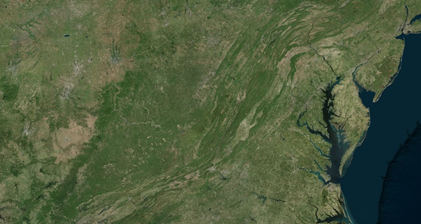
Imagery
|
A combination of satellite or aerial imagery. Only available in S1 and G2 pricing SKU. Supports zoom levels 1 through 19. Format: raster (png). |
|
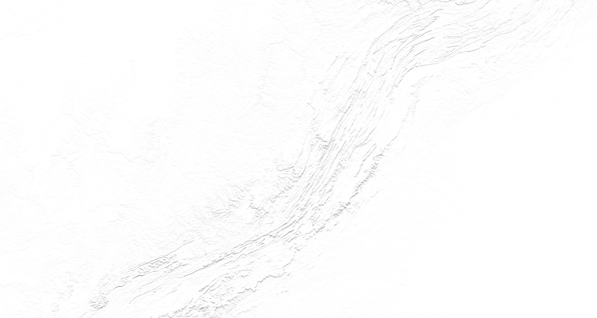
TerraMain
|
Shaded relief and terra layers. Supports zoom levels 1 through 17. Format: raster (png). |
|
BaseDarkGrey
|
Label data in the Azure Maps dark grey style. Supports zoom levels 1 through 22. Format: raster (png). |
|
BaseHybridDarkgrey
|
Road, boundary and label data in the Azure Maps dark grey style. Supports zoom levels 1 through 22. Format: raster (png). |
|
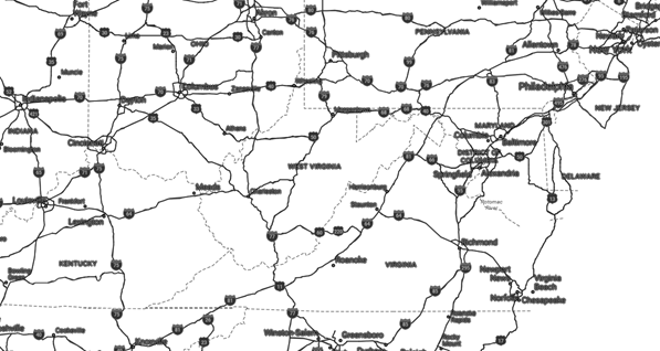
BaseHybridRoad
|
Road, boundary and label data in the Azure Maps main style. Supports zoom levels 1 through 22. Format: raster (png). |
|
BaseLabelsDarkgrey
|
Label data in the Azure Maps dark grey style. Supports zoom levels 1 through 22. Format: raster (png). |
|
BaseLabelsRoad
|
Label data in the Azure Maps main style. Supports zoom levels 1 through 22. Format: raster (png). |
|
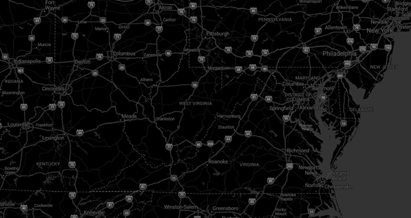
BaseRoad
|
All layers with the Azure Maps main style. Supports zoom levels 1 through 22. Format: raster (png). |
|
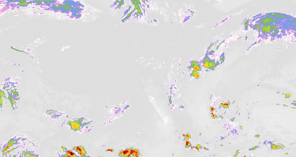
WeatherInfraredMain
|
Weather infrared tiles. Latest Infrared Satellite images shows clouds by their temperature. Supports zoom levels 1 through 15. Format: raster (png). |
|
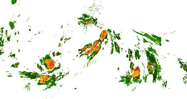
WeatherRadarMain
|
Weather radar tiles. Latest weather radar images including areas of rain, snow, ice, and mixed conditions. Supports zoom levels 1 through 15. Format: raster (png). |
|
Related API Members
The following properties accept/return AzureTileset values: