TdxMapPushpin Class
A map pushpin.
Declaration
TdxMapPushpin = class(
    TdxMapPointer
)
Remarks
A map pushpin marks a point on a map. Map pushpins can display a label, image, and hint.
Main API Members
The list below outlines key members of the TdxMapPushpin class. These members allow you to position a pushpin on a map item layer.
Appearance Settings
- Style | StyleHot | StyleSelected
- Specify map pushpin appearance settings in different states.
Content Settings
- Hint | ScreenTip
- Allow you to assign a hint or ScreenTip to the map pushpin.
- Image | ImageOrigin
- Allow you to load and position an image within the map pushpin.
- Location
- Specifies the pushpin position on the map.
- Text
- Specifies the pushpin caption.
General-Purpose API Members
- Attributes
- Allows you to associate the pushpin with custom values.
- Selected
- Specifies if the map pushpin is selected.
- Visible
- Specifies if the map pushpin is visible.
Map Pushpin Creation
To create a map pushpin, you can call one of the following functions of a map item layer and pass a reference to the TdxMapPushpin class as a parameter:
- AddItem
- Creates a map item of a specified type and appends it to the layer’s MapItems collection.
- MapItems.Add
- Creates a map item of the required type and adds the item to the collection.
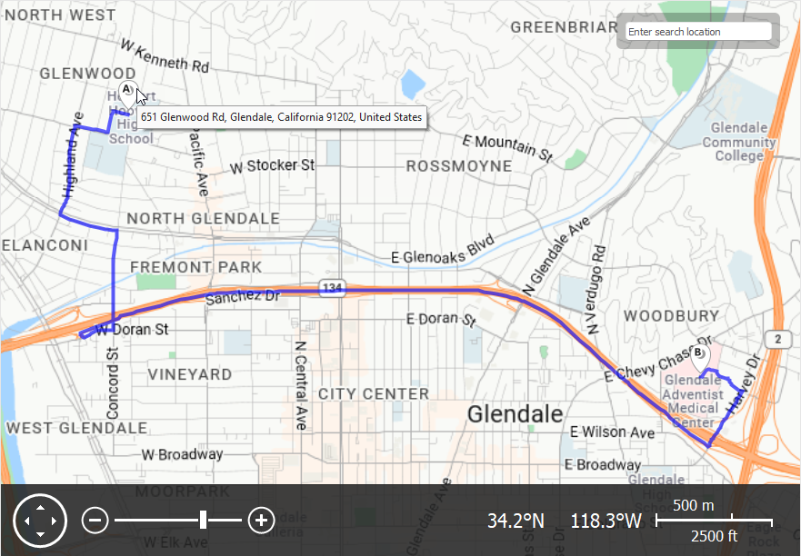
Code Example: Display a Map Point Address as a Hint
The following code example implements a procedure that uses a configured information provider component to create a pushpin at the specified point on the map and assign the point’s address to the pushpin hint:
uses
  dxAzureMapInformationProviders;  // Declares TdxMapControlAzureMapReverseGeocodeProvider
// ...

procedure TMyForm.AddPushpin(AGeoPoint: TdxMapControlGeoPoint);
var
  APushpin: TdxMapPushpin;
  AParams: IdxAzureMapReverseGeocodeQueryParams;
  AResponse: TdxAzureMapReverseGeocodeRequestResponse;
begin
  // Creates a new pushpin on an existing map item layer
  APushpin := dxMapControl1ItemLayer1.MapItems.Add(TdxMapPushpin) as TdxMapPushpin;
  APushpin.Location.GeoPoint := AGeoPoint;
  AParams := dxMapControl1AzureMapReverseGeocodeProvider1.CreateQueryParams;
  AParams.Coordinates := APushpin.Location.GeoPoint;
  // Uses a configured reverse geocode provider to send a query to an Azure Maps server
  dxMapControl1AzureMapReverseGeocodeProvider1.Execute(AParams, AResponse);
  try
    if AResponse <> nil then  // Checks if a server response is received
    begin
      if AResponse.IsSuccess and (AResponse.Features.Count > 0) then  // Checks if the query is successful
        APushpin.Hint := AResponse.Features.First.Properties.Address.FormattedAddress;
    end;
  finally
    AResponse.Free;  // Deletes the query result regardless of the operation's success
  end;
end;
Inheritance
See Also