TdxMapControlCustomProjection Class
The base class for map projections.
Declaration
TdxMapControlCustomProjection = class(
    TcxInterfacedPersistent
)
Remarks
Map projections are different ways to map a sphere surface to a plane. However, each map projection distorts the original surface. For example, surface distortion increases as the inspected point moves away from the equator towards the north or south pole in the Spherical Mercator projection. Different map projection types are designed for use in different scenarios.
Refer to the following topic for general information on map projections: https://en.wikipedia.org/wiki/Map_projection.
The TdxMapControlCustomProjection class declares geographic conversion functions common to all map projections. TdxMapControlCustomProjection descendants implement these functions.
Available Projections
All map layer types support the Spherical Mercator projection (default). Item and Item File layers declare Projection and ProjectionClass properties you can use to switch between the following projections:
| Projection | Example |
|---|---|
| Braun Stereographic | 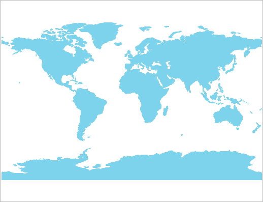 |
| Elliptical Mercator | 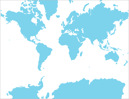 |
| EPSG:4326 (also known as WGS 84 or WGS 1984) | 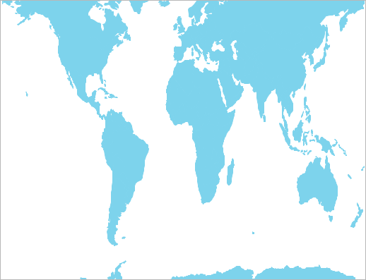 |
| Equal-Area | 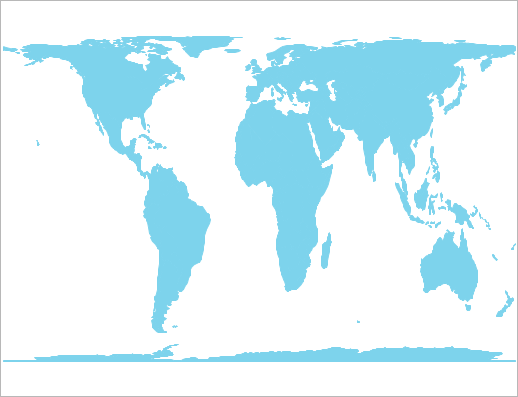 |
| Equirectangular | 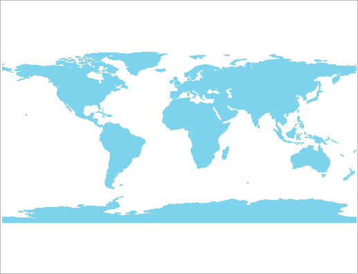 |
| Kavrayskiy VII |  |
| Lambert Cylindrical Equal-Area |  |
| Miller Cylindrical | 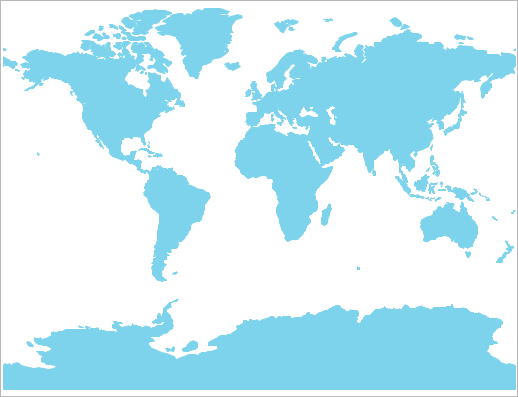 |
| Sinusoidal |  |
| Spherical Mercator |  |
Main API Members
The list below outlines key members of the TdxMapControlCustomProjection class. These members allow you to convert map points into specific measurement units according to the actual map projection.
- GeoPointToMapUnit
- Converts a specified point defined in geographical coordinates to internal map units.
- GeoToKilometersSize
- This member supports the internal infrastructure and is not intended to be used directly from your code.
- KilometersToGeoSize
- This member supports the internal infrastructure and is not intended to be used directly from your code.
- MapUnitToGeoPoint
- Converts a specified point defined in internal map units to geographical coordinates.
Terminal TdxMapControlCustomProjection Class Descendants
Do not use the TdxMapControlCustomProjection class directly. Use the following descendants instead:
- TdxMapControlBraunStereographicProjection
- Implements the Braun Stereographic map projection.
- TdxMapControlEllipticalMercatorProjection
- Implements the Elliptical Mercator Projection.
- TdxMapControlEPSG4326Projection
- Implements the EPSG:4326 map projection (also known as WGS 84 or WGS 1984).
- TdxMapControlEqualAreaProjection
- Implements the Equal-Area map projection.
- TdxMapControlEquirectangularProjection
- Implements the Equirectangular map projection.
- TdxMapControlKavrayskiyProjection
- Implements the Kavrayskiy VII map projection.
- TdxMapControlLambertCylindricalEqualAreaProjection
- Implements the Lambert Cylindrical Equal-Area map projection.
- TdxMapControlMillerProjection
- Implements the Miller map projection.
- TdxMapControlSinusoidalProjection
- Implements the Sinusoidal map projection.
- TdxMapControlSphericalMercatorProjection
- Implements the Spherical Mercator map projection.