Map Coordinate Systems
In creating a map, two types of coordinate systems are used: the Cartesian coordinate system and the Geographic coordinate system. The Map Control supports both types of coordinate systems.
To change coordinate system, use the MapControl.CoordinateSystem property of the map control. Note that the map control does not draw layers with another coordinate system if a SourceCoordinateSystem.CoordinateConverter is not specified.
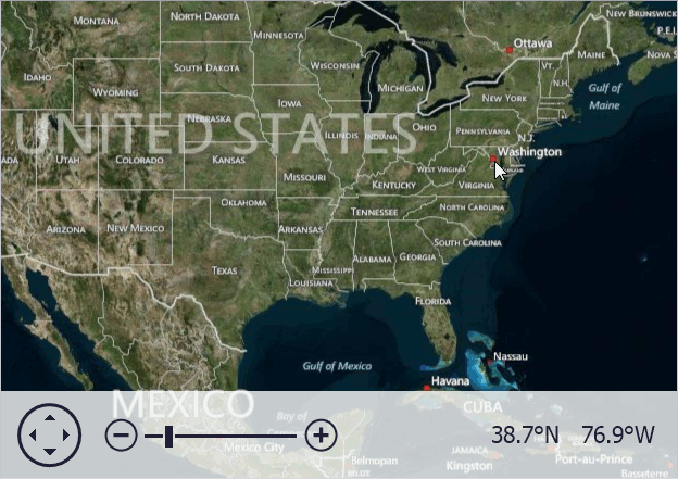
Geographic Coordinate System
This coordinate system draws geographic data. Image tiles, information and vector items layers support this coordinate system. To work with the geographic coordinate system, use the GeoMapCoordinateSystem class.
The following image demonstrates the geographic map drawn by the map control.
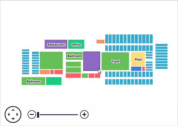
Cartesian Coordinate System
This coordinate system draws Cartesian data, for example, a building plan. Only the vector layer supports this coordinate system. To work with the Cartesian coordinate system, use the CartesianMapCoordinateSystem class.
The following image demonstrates the Cartesian map drawn by a map control.