GIS Data
- 2 minutes to read
This document describes the types of predefined GIS data providers supported by the Map control and details information on how to use them. GIS services allow you to get information based on map location; for example, to get to know what is in a specified location or create a route between two or more waypoints. There are numerous Geographic Information Systems (to learn more, refer to the following link: List of geographic information systems) whose functionality can be replicated in your application using the map control. The Map control supports Bing Search, Bing Geocode and Bing Route services.
To provide GIS functionality, do the following. Create a InformationLayer object and add it to the MapControl.Layers collection. Assign the required data provider to the InformationLayer.DataProvider property of the object. Then, configure the data provider as required.
Note
Refer to How to: Get a Bing Maps Key if you run the application and see a window with the following error message: “The specified Bing Maps key is invalid. To create a developer account, refer to https://www.microsoft.com/en-us/maps/create-a-bing-maps-key“.
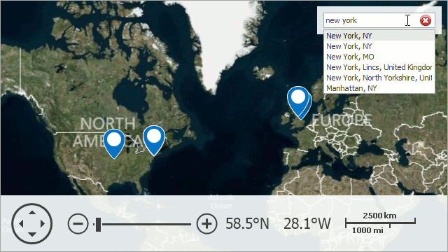
Search Providers
These data providers search the location of the specified address. To work with this provider, use the BingSearchDataProvider or OsmSearchDataProvider class.
For information on how to use them, refer to the Search topic.
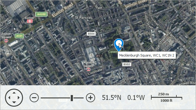
Geocode Providers
These data providers search an address associated with a specified location. To work with this provider, use the BingGeocodeDataProvider or OsmGeocodeDataProvider class.
For information on how to use it, refer to the Geocode topic.
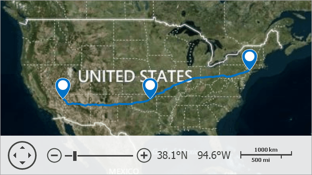
Route Provider
This data provider calculates the path between specified waypoints. To work with this provider, use the BingRouteDataProvider class.
For information on how to use it, refer to the Routing topic.
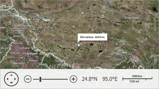
Elevation Provider
This data provider obtains information about the elevation in the specified locations. To work with this provider, use the BingElevationDataProvider class.
For information on how to use it, refer to the Elevation topic.