OpenStreetMapKind Enum
Lists the values used to specify the kind of maps to be obtained from the OpenStreetMapDataProvider.
Namespace: DevExpress.Xpf.Map
Assembly: DevExpress.Xpf.Map.v21.2.dll
NuGet Package: DevExpress.Wpf.Map
Declaration
Members
| Name | Description |
|---|---|
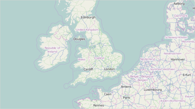
Basic
|
The layer represents the basic (mapnik) OSM map. To see this map kind, use the following link: openstreetmap.org. This is the base layer type.
|
CycleMap
|
The layer represents the MapCycleMap OSM map. To see this map kind, use the following link: openstreetmap.org. This is the base layer type.
|
Hot
|
The layer represents the Humanitarian OSM Team OSM map. To see this map kind, use the following link: openstreetmap.org. This is the base layer type.
|
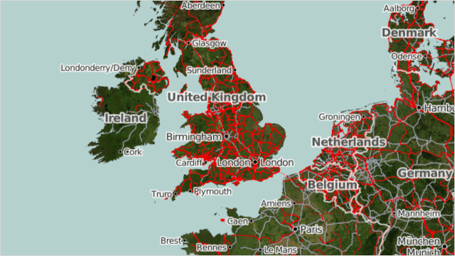
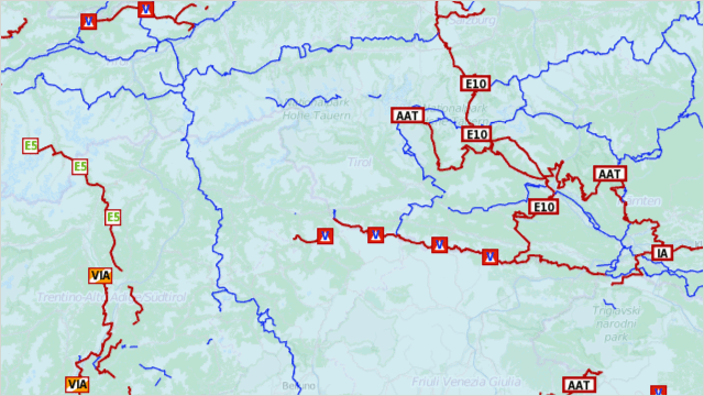
Transport
|
The layer represents the transport OSM map. To see this map kind, use the following link: openstreetmap.org. This is the base layer type.
|
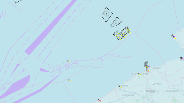
SeaMarks
|
The layer represents the OpenSeaMap OSM map. To see this map kind, use the following link: www.openseamap.org. This is the overlay layer type.
|
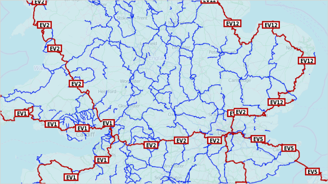
HikingRoutes
|
The layer represents the Hiking Map OSM map. To see this map kind, use the following link: hiking.waymarkedtrails.org. This is the overlay layer type.
|
CyclingRoutes
|
The layer represents the Cycle routes OSM map. To see this map kind, use the following link: cycling.waymarkedtrails.org. This is the overlay layer type.
|
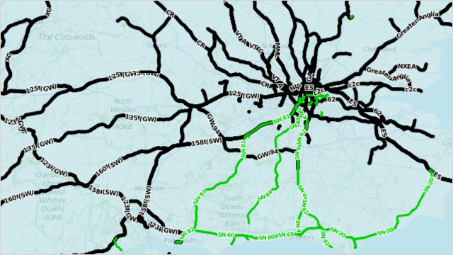
PublicTransport
|
The layer represents the Openptmap OSM map. This is the overlay layer type.
|
Related API Members
The following properties accept/return OpenStreetMapKind values:
Remarks
The values listed by the OpenStreetMapKind enumeration are used to set the OpenStreetMapDataProvider.Kind property.
Example
Tip
A complete sample project is available in the DevExpress Code Examples database at https://supportcenter.devexpress.com/ticket/details/e3617/how-to-connect-to-openstreetmap.
This example demonstrates how to connect to the OpenStreetMap web service using the OpenStreetMapDataProvider object.
<dxm:MapControl>
    <dxm:MapControl.Layers>
        <dxm:ImageLayer>
            <dxm:ImageLayer.DataProvider>
                <dxm:OpenStreetMapDataProvider TileUriTemplate="http://{subdomain}.tile.MyCustomOSMProvider.org/{tileLevel}/{tileX}/{tileY}.png"
                                               WebRequest="OnWebRequest"/>
            </dxm:ImageLayer.DataProvider>
        </dxm:ImageLayer>
    </dxm:MapControl.Layers>
</dxm:MapControl>