VCL Map Control
- 3 minutes to read
The VCL Map Control allows you to embed multi-layered maps into an application, add image and text overlays, and pinpoint specific locations.
The control contains multiple customization options and built-in navigation tools that help you create interactive map interfaces.
Map Layers
The control allows you to create multiple layers. Use the control’s Layers property to access individual levels and change their settings (for instance, the visibility and/or transparency level).
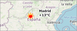
Image Tile Layer
The image tile layer uploads image tiles from a supported online map provider (Bing Maps or OpenStreetMap). Use the layer’s Provider property to adjust the provider settings.
Refer to the Online Map Provider Specifics topic for more information about provider and connection requirements.
Item Layer
The item layer allows you to add vector items to a map. These items include built-in and custom SVG map items.
- Built-in Map Items
Allow you to pinpoint specific locations on a map with dots, rectangles, ellipses, polylines, polygons, paths, and pushpins.
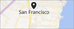
- Custom Map Items
Allow you to display images and text on a map.
Use the layer’s MapItems property to manage map items and adjust their settings.
Item File Layer
The item file layer loads map items from vector data files (KML files or Esri shapefiles) and displays these items on a map.
REST Services
The control supports REST Services for the following map providers:
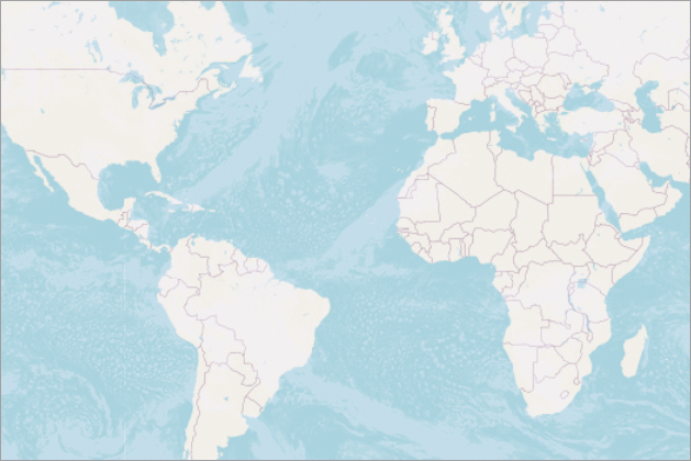
Map Projections
Map projections allow you to display a globe’s surface on a plane in the control.
You can choose any of the following projections:
- Braun stereographic
- Elliptical Mercator
- EPSG:4326 (also known as WGS 84 or WGS 1984)
- Equal-area
- Equirectangular
- Kavrayskiy VII
- Lambert cylindrical equal-area
- Miller cylindrical
- Sinusoidal
- Spherical Mercator
Use a map layer’s Projection property to change projection.
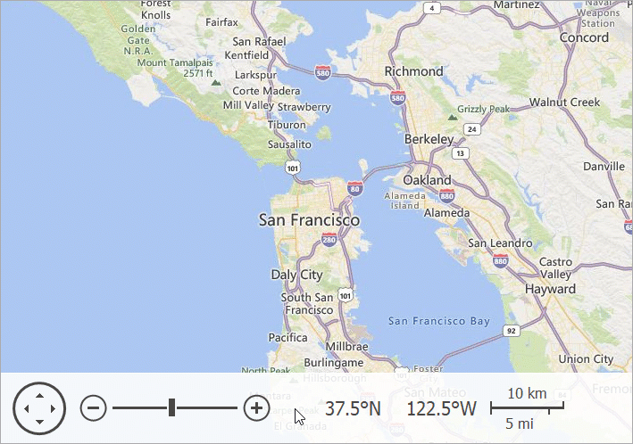
Navigation Panel
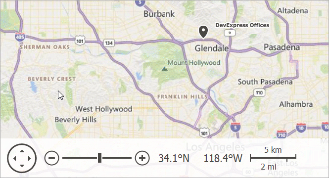
The Map control’s navigation panel allows users to perform the following actions:
Scroll and zoom the map area
View the coordinates of the map point under the mouse pointer
Evaluate the distance between points on the map with the kilometers and miles scales
Use the control’s NavigationPanel property to change the panel settings.
Note
Usage of the VCL Map Control does not confer any license to use data from a map provider. You must follow the licensing requirements set forth by each map provider: