OpenStreetMapDataProvider.Kind Property
Gets or sets a value specifying the type of images to be displayed on a map.
Namespace: DevExpress.Xpf.Map
Assembly: DevExpress.Xpf.Map.v19.1.dll
Declaration
Property Value
| Type | Description |
|---|---|
| OpenStreetMapKind | A OpenStreetMapKind enumeration value. |
Available values:
| Name | Description |
|---|---|
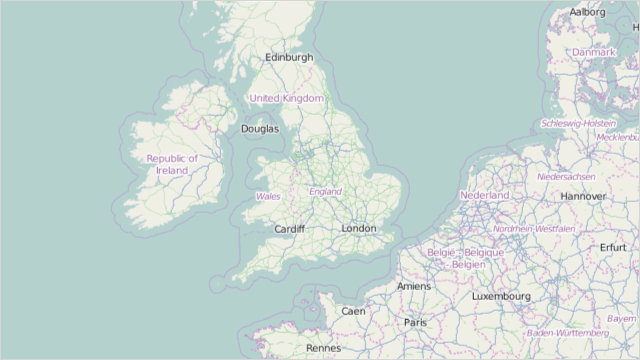
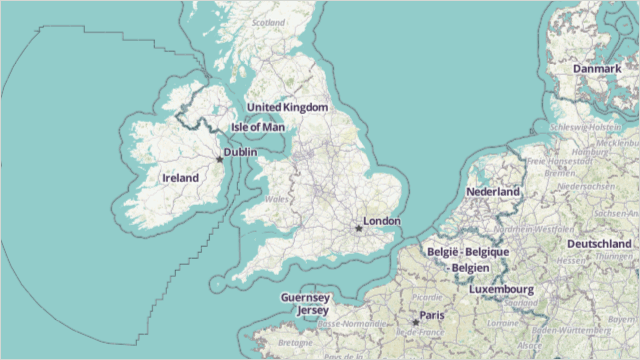
| Basic | The layer represents the basic (mapnik) OSM map. To see this map kind, use the following link: openstreetmap.org. This is the base layer type.
|
| Mapquest | Obsolete. The layer represents the MapQuest OSM map. To see this map kind, use the following link: openstreetmap.org. This is the base layer type.
|
| MapquestSatellite | Obsolete. The layer represents the MapQuest Satellite OSM map. To see this map kind, use the following link: mapquest.org. This is the base layer type.
|
| CycleMap | The layer represents the MapCycleMap OSM map. To see this map kind, use the following link: openstreetmap.org. This is the base layer type.
|
| Hot | The layer represents the Humanitarian OSM Team OSM map. To see this map kind, use the following link: openstreetmap.org. This is the base layer type.
|
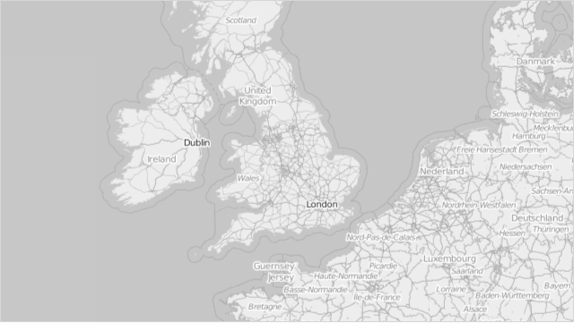
| GrayScale | The layer represents the mapnik map grayscale OSM map. This is the base layer type.
|
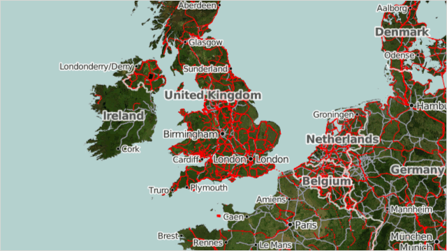
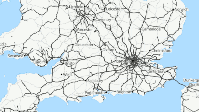
| Transport | The layer represents the transport OSM map. To see this map kind, use the following link: openstreetmap.org. This is the base layer type.
|
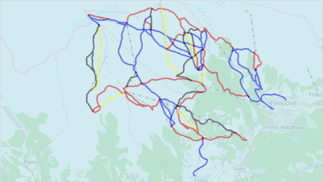
| SkiMap | Obsolete. The layer represents the OpenPisteMap OSM map. This is the overlay layer type.
|
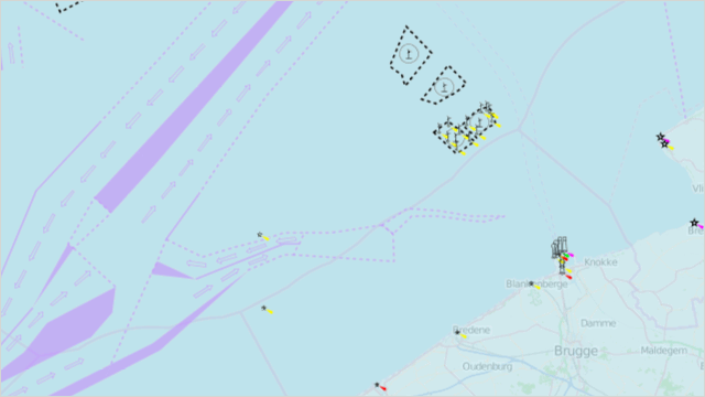
| SeaMarks | The layer represents the OpenSeaMap OSM map. To see this map kind, use the following link: www.openseamap.org. This is the overlay layer type.
|
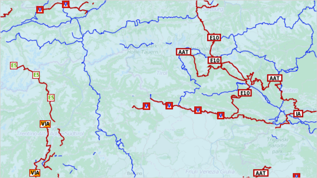
| HikingRoutes | The layer represents the Hiking Map OSM map. To see this map kind, use the following link: hiking.waymarkedtrails.org. This is the overlay layer type.
|
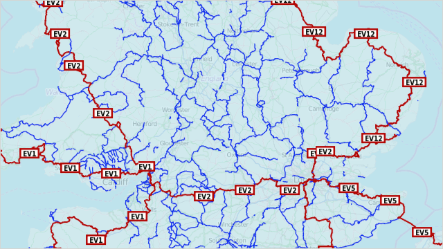
| CyclingRoutes | The layer represents the Cycle routes OSM map. To see this map kind, use the following link: cycling.waymarkedtrails.org. This is the overlay layer type.
|
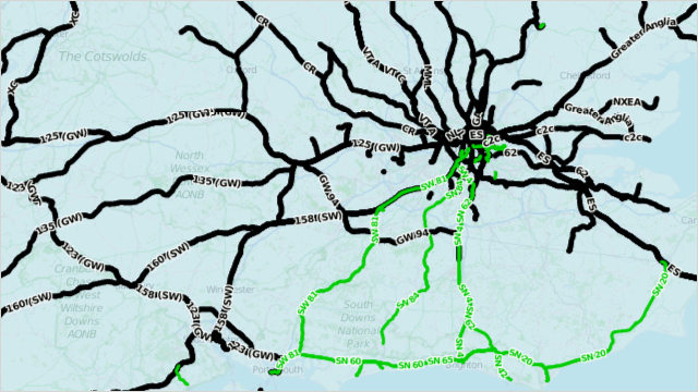
| PublicTransport | The layer represents the Openptmap OSM map. This is the overlay layer type.
|
Remarks
The OpenStreetMap data provider loads images to a map control automatically when you create the OpenStreetMapDataProvider object.
Related GitHub Examples
The following code snippets (auto-collected from DevExpress Examples) contain references to the Kind property.
Note
The algorithm used to collect these code examples remains a work in progress. Accordingly, the links and snippets below may produce inaccurate results. If you encounter an issue with code examples below, please use the feedback form on this page to report the issue.