Layers
- 2 minutes to read
This document describes the concept of layers, as well as the types of layers that are used in a Map Control.
Layers are used to draw data on a map, and are stored in a LayerCollection returned by the MapControl.Layers property.
There are several types of layers.
-
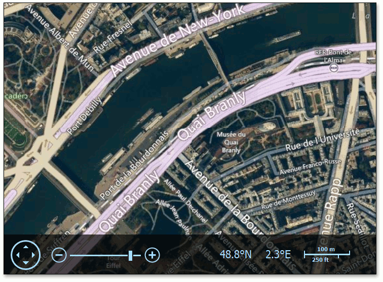
This layer is utilized to draw map images. These images are obtained by the ImageLayer from one of the supported data providers (Bing Maps, OpenStreetMap or Web Map Service Provider). The type of the current data provider is defined by the type of the object assigned to the layer’s ImageLayer.DataProvider property.
Below is a screenshot of map images provided by Bing Maps for the ImageLayer object.
-
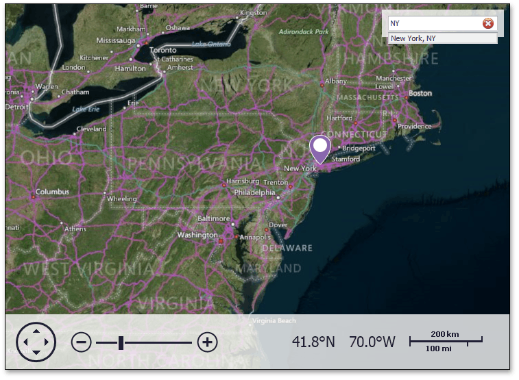
This layer should be used to present GIS elements above the map. These elements let end-users input information requests, which are passed to the corresponding GIS data providers, and then display the results of these requests above the Map control. The type of the current data provider is defined by the type of the object assigned to the InformationLayer.DataProvider property of the layer.
Below is a screenshot of a search panel that shows the results of a search request to the Bing Search information service.
-
This layer is used to draw vector items on a map. These items include predefined or custom vector items.