Map Control
- 2 minutes to read
The DevExpress Map control (MapControl) provides all the functionalities required for embedding popular map services into your WinForms applications. You are free to choose from any existing map data resource (like Bing Maps™ or OpenStreetMap) or establish your own map data server inside your corporate network. In addition to using raster map images, you can also utilize vector elements of any shape, stored either in Shapefiles or other formats.
| To learn the basics of the DevExpress MapControl, go through the following lessons. |
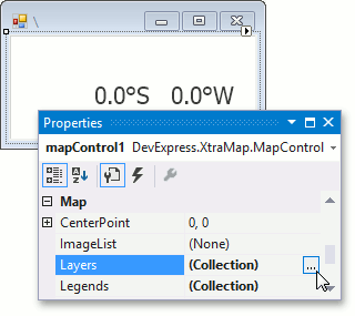
| The DevExpress Map control can simultaneously show an unlimited number of map layers. Each layer displays information as images (Image Layer) or as vector elements (Vector Layer and Information Layer). |
| Using the Map control, you can design applications displaying both geographic and cartesian maps. The Map control also allows you to display data using different geographic projections. Moreover, using the Map control, it is possible to visualize cartesian data over the geographic map. |
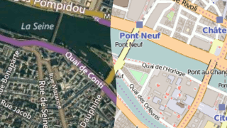
| The DevExpress Map control shows maps by obtaining data from a map data provider. The Map control ships with support for following data providers. |
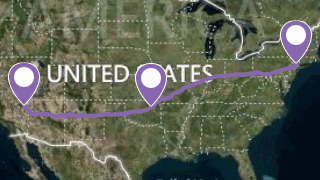
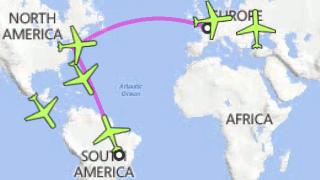
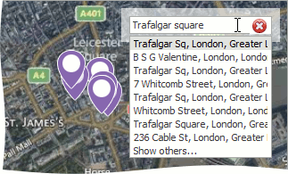
| The DevExpress Map Control for WinForms supports Bing and OSM Search and Geocode services and Bing Routing and Elevation services. These services allow end-users to visualize any location on a map, view detailed information on a given location, or create a route between two or more locations. |
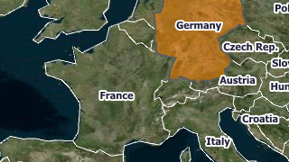
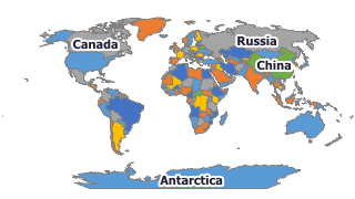
| The DevExpress Map control for WinForms ships with vector element support. The vector data can be provided to the Map control in various ways, such as manually specified, bound to the object collection or loaded from a file. In addition to the simple shapes (dots, rectangles, etc.), the Map control supports chart items that allow you to display statistical data above a map. Also, vector items can be aggregated and automatically colored. |
| The DevExpress Map control supports the following end-user features. |