Projections
- 2 minutes to read
This document explains why map projections are important, lists their supported types, and details how to create various projections in the map control.
Overview
There are numerous ways of depicting the Earth’s surface on a map. Depending on usage, the surface can be drawn as a circle, a rectangle, an oval, etc.
Map projections provide numerous methods of representing a spherical surface, or any other three-dimensional body, on a plane. Each map projection distorts the surface in some manner. For instance, the distortion of the Mercator projection increases away from the Equator, and is extreme in the polar regions. Thus, it is difficult to say which projection is the best. The best solution is to choose a projection that meets your specific requirements.
For more information, see Map projection.
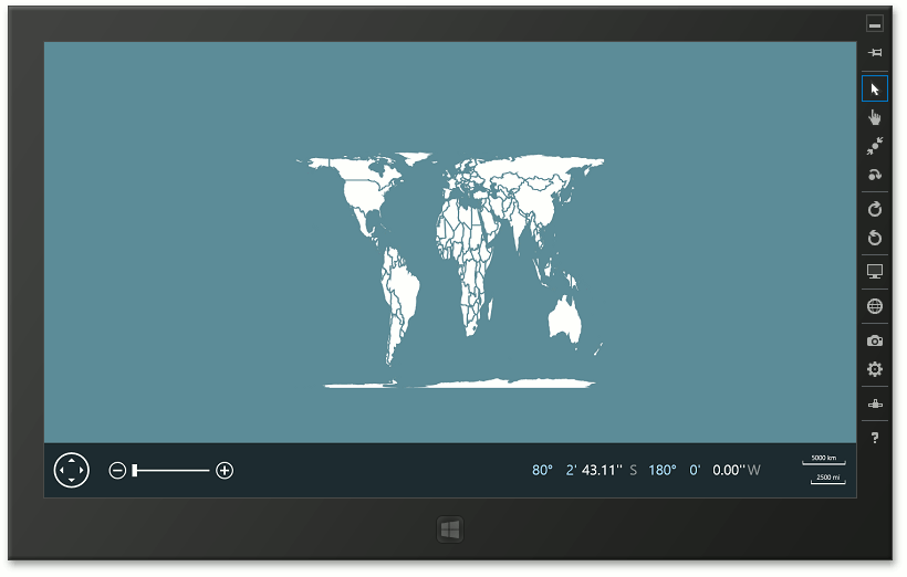
Map Projections
The following is a list of supported projections provided by the Map Control.
- EllipticalMercatorProjection
- EqualAreaProjection
- EquirectangularProjection
- MillerProjection
- SphericalMercatorProjection
Customization
To create a map projection, do the following.
- Create one of the objects listed above (for instance, the EqualAreaProjection object).
- Assign an object that represents the map projection to the MapItemsLayerBase.MapProjection property.
- In the MapItemsLayerBase.InitialMapSize property, specify the Width/height aspect ratio based size for the projection.
For instance, you can find the Width/height aspect ratio values for the cylindrical equal-area projection on the following link: Cylindrical equal-area projection.
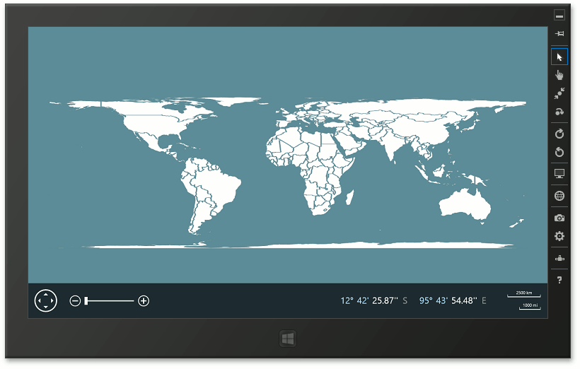
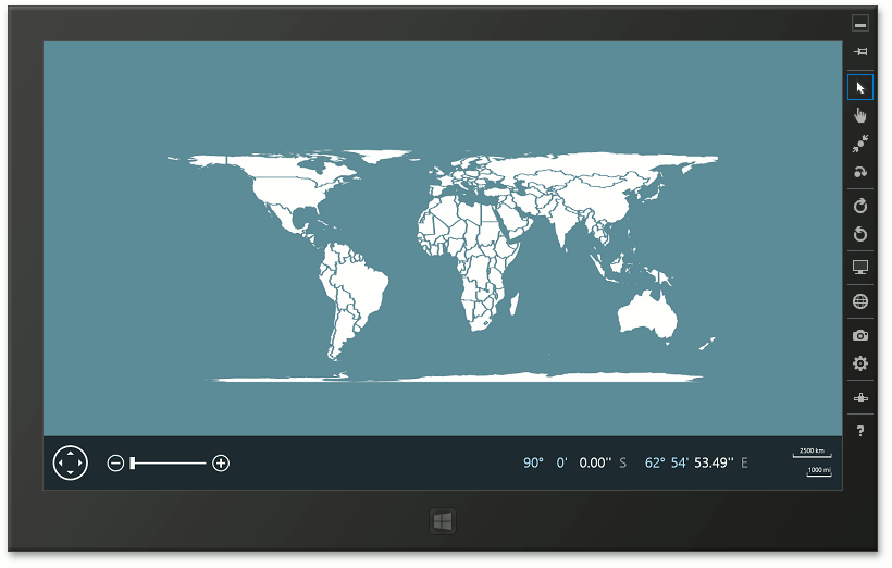
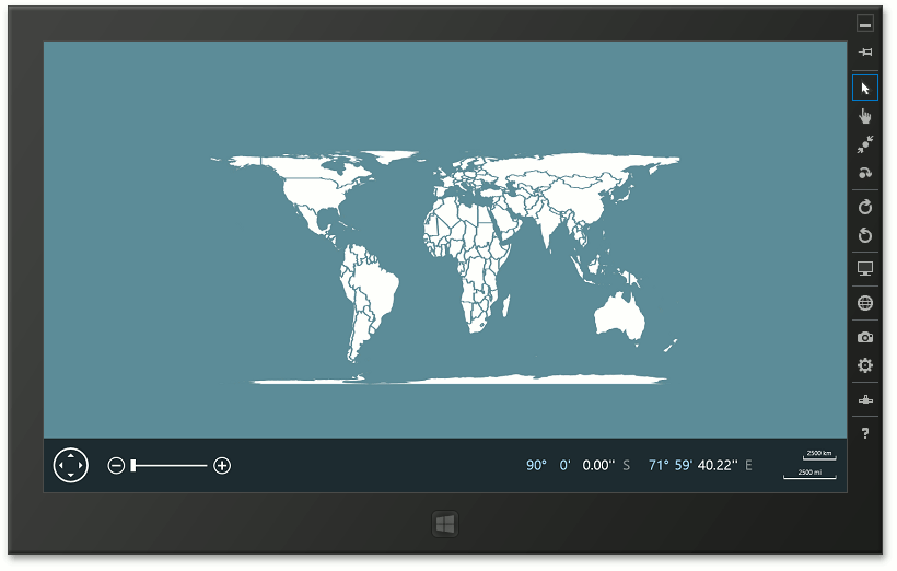
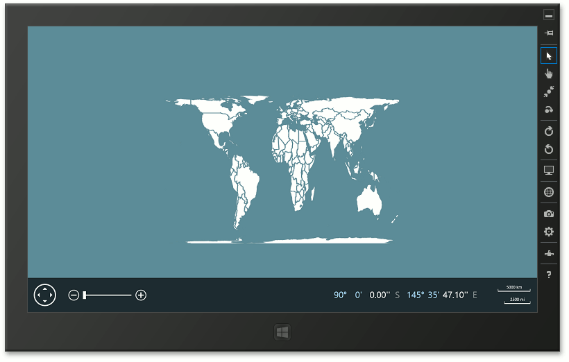
The images below illustrate the specifics of the cylindrical equal-area projection. The Width/height ratio is in the parenthesis.
Lambert (3.14)
Behrmann (2.36)
Trystan Edwards (2)
Gall-Peters (1.57)
Balthasart (1.3)
Example
The following example demonstrates how to create cylindrical equal-area projections (e.g., Lambert, Behrmann) in the map control: How to: Customize the Cylindrical Equal-Area Projection