Overview
This suite contains the MapControl, which is intended to display raster and vector maps in Universal Windows applications.
The Map Control provides the following features.
Image Tiles Providers
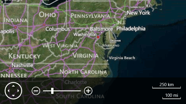
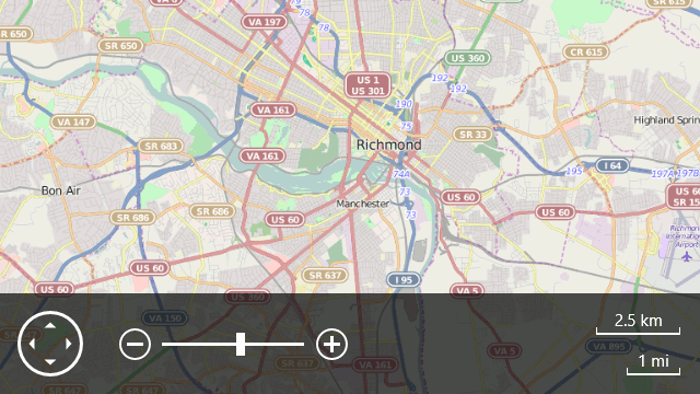
The DevExpress MapControl ships with support for two data providers: Bing Maps and OpenStreetMap.
Bing Maps example:
OpenStreetMap example:
Support for Vector Formats
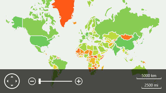
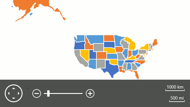
Shapefile
The DevExpress MapControl provides support for the Shapefile format. Note that our map control is capable of loading both shape contours and supplementary information from shapefiles. With this capability, you can, for example, display map regions painted in different colors (for more information, refer to the Colorizers topic).
KML
In addition, the MapControl supports KML file format.
Vector Layer Features
The DevExpress MapControl ships with the following built-in vector elements.
- Dot
- Ellipse
- Line
- Polygon
- Polyline
- Path
- Rectangle
- Pushpin
- Custom Element