GIS Data
- 2 minutes to read
GIS services allow you to receive information related to map locations. For example, you can obtain coordinates of a location by its name or create a route between two or more waypoints. The Map Control ships with a set of data providers that allow you to connect to GIS services and visualize data on the map. This topic lists available providers and explains how to use them.
Tip
The Map Control allows you to use Measurement UI and API to measure distances and areas on the map. For more information, see: Measurements.
The Map Control also ships with an API that allow you to measure geometric values based on geographical coordinates. You can use this information to develop custom map measurement instruments. Refer to the following help topic for more information: GeoUtils.
How to Use a GIS Provider
Create a InformationLayer object and add it to the MapControl.Layers collection.
Create a data provider object and assign it to the InformationLayer.DataProvider property.
Configure the data provider’s settings.
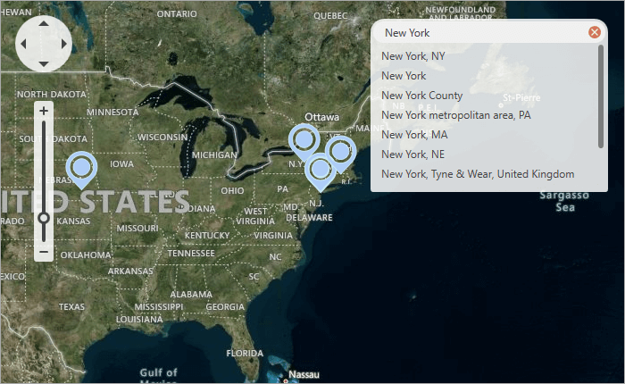
Search Providers
The following data providers allow you to search for the location by the specified address:
Refer to the following help topic for more information: Search.
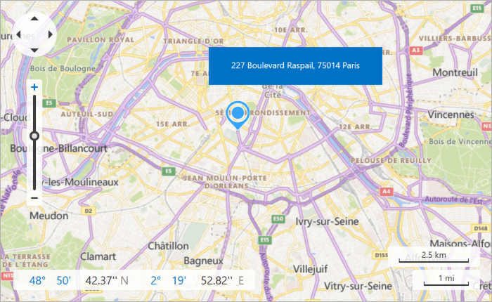
Geocode Providers
The following data providers allow you to search for an address associated with a specified location:
Refer to the following help topic for more information: Geocode.
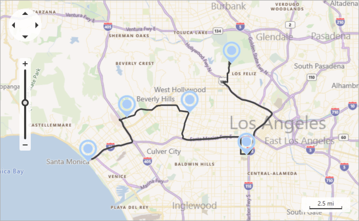
Route Provider
The following data provider allows you to calculate a path between multiple specified waypoints:
Refer to the following help topic for more information: Routing.
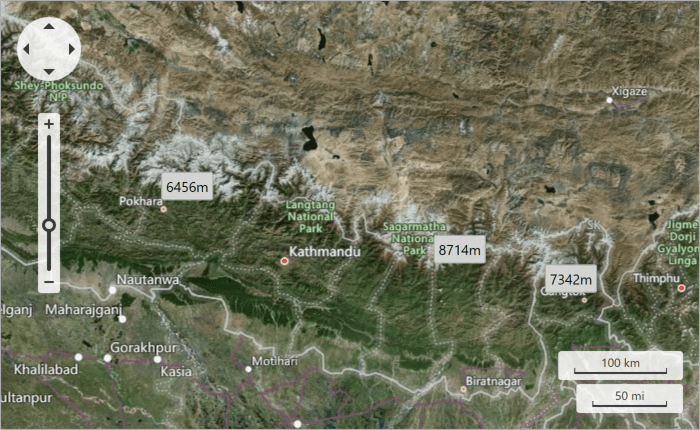
Elevation Provider
The following provider allows you to obtain elevation information for specified locations:
Refer to the following help topic for more information: Elevation.
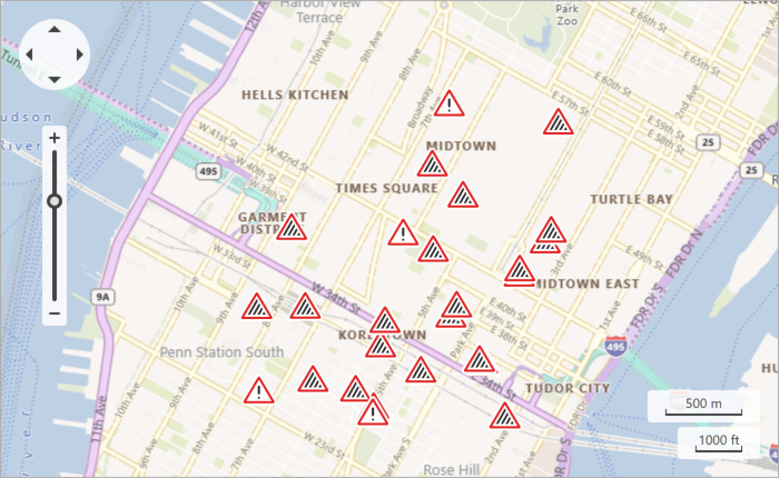
Traffic Incident Provider
The following provider allows you to receive information about traffic incidents and display incident icons on the map:
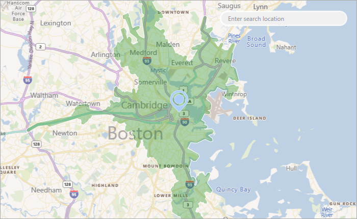
Isochrone Provider
An isochrone shows an area reachable from a specific location. The following provider allows you to calculate an isochrone and plot it on the map: