GIS Data
- 2 minutes to read
This document describes the types of predefined GIS data providers supported by the Map control, and details information on how to use them. GIS services allow you to get information based on a map location; for example, to determine what is at a specified location or create a route between two or more waypoints. There are numerous Geographic Information Systems (to learn more, refer to the following link: List of geographic information systems) whose functionality can be replicated in your application using the map control. The Map control supports Bing Search, Bing Geocode and Bing Route services.
To provide GIS functionality, do the following. Create a InformationLayer object and add it to the MapControl.Layers collection. Assign the required data provider to the InformationLayer.DataProvider property of the object. Then, configure the data provider as required.
Tip
The GeoUtils class exposes methods that measure geometric values based on geographical coordinates. You can use this information to develop map measurement instruments (for example, a map ruler).
Search
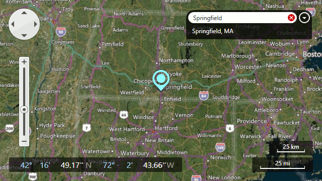
This data provider searches the location of the specified address. To work with this provider, use the BingSearchDataProvider class.
For information on how to use the search functionality, refer to the Search topic.

Geocode
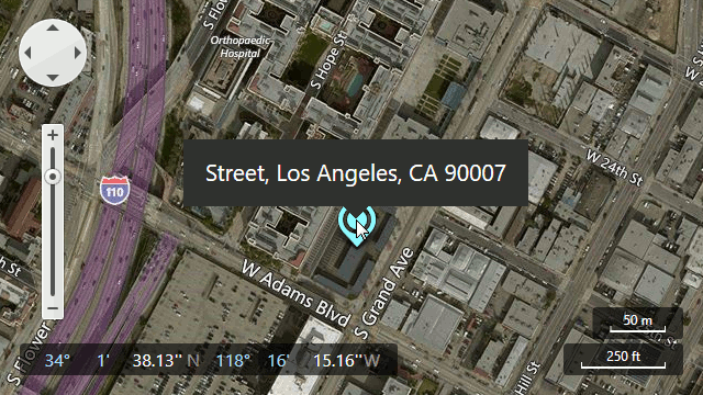
This data provider searches the specified location. To work with this provider, use the BingGeocodeDataProvider class.
For information on how to use the geocode functionality, refer to the Geocode topic.

Bing Route
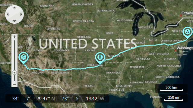
This data provider calculates the path between specified waypoints. To work with this provider, use the BingRouteDataProvider class.
For information on how to use the route functionality, refer to the Routing topic.

Bing Elevation
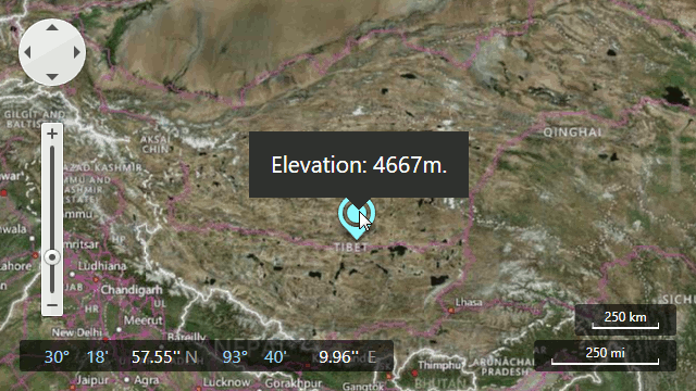
This data provider obtains information about elevation in specified locations. To work with this provider, use the BingElevationDataProvider class.
For information on how to use the elevation functionality, refer to the Elevation topic.
