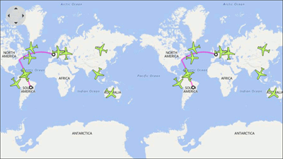
End-User Interaction
The Map Control is an interactive control that allows end users to select and highlight map items, or use tooltips to show additional information about an item.
Highlighting | |
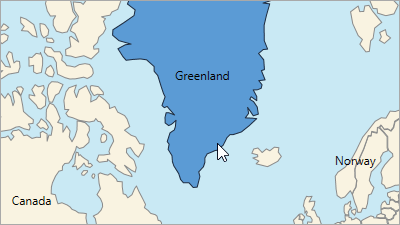
| The Map control highlights items when the mouse cursor hovers over them. |
Selection | |
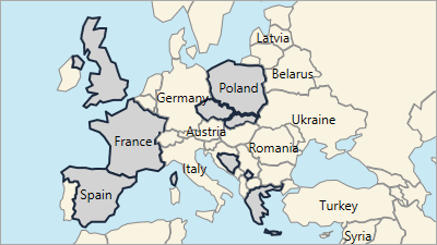
| The Map control allows you to select vector items. The Map Control’s selection mode defines whether you can select one or several items. |
Tooltips | |
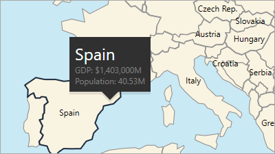
| Map tooltips supplement vector items with additional content. You can customize the tooltip’s content and modify the tooltip’s appearance. |
Printing and Exporting | |
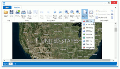
| The Map control makes it possible to print a map and export it to numerous file formats. |
Scrolling and Zooming | |
| End users can zoom and scroll the map to navigate it. |
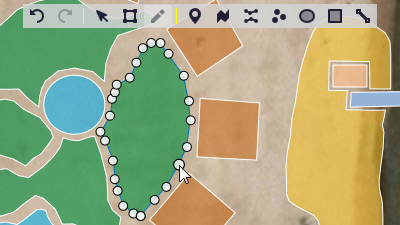
Vector Item Editor | |
| The Map Editor allows end users to add new vector items (such as pushpin, polyline, ellipse, etc.) and modify existing vector items. |