Layers
- 2 minutes to read
This document describes the Map Control’s layers.
Layers draw data on a map and are stored in a LayerCollection the MapControl.Layers property returns.
There are several types of layers:
-
This layer draws map images. The ImageLayer obtains these images from one of the supported data providers (Bing Maps, OpenStreetMap or Web Map Service Provider). The object assigned to the layer’s ImageLayer.DataProvider property defines the service that provides data.
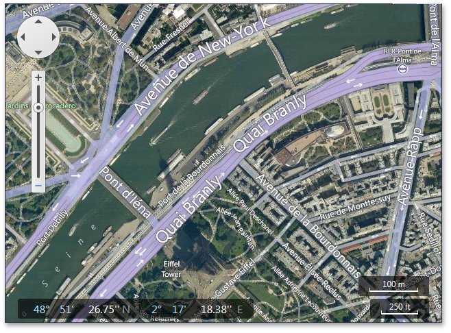
The screenshot below shows map images for the ImageLayer object from Bing Maps.
-
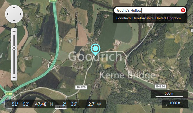
Add this layer to the Map Control to add GIS functionality to your application. The built-in UI elements allow end users to send requests to the corresponding GIS data provider, and the information layer displays the results of these requests in the Map control. The layer’s data provider defines the type of geo information the layer displays (search, geocode, or route).
The following screenshot shows a Map Control with a search panel that displays results from the Bing Search Data Provider:
-
Use this layer to draw vector elements on a map. These elements include predefined or custom vector elements, and shapes loaded from a supported shape file format.
To provide settings for a specific shape data adapter, adjust the settings of a MapDataAdapterBase class descendant object the VectorLayer.Data property returns.
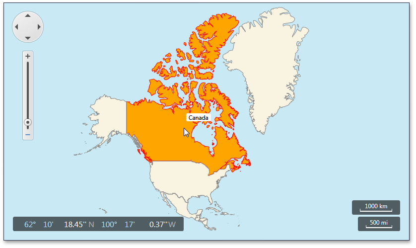
An image below shows the Map Control with the VectorLayer object that displays shapes loaded from a shapefile: